Our Courses
Our courses cover environmental geology, geomorphology, marine geology, oceanography/limnology, petrology, and tectonics.
More about Our CoursesMiddlebury College Earth and Climate Sciences students experience the excitement of the geological and environmental sciences in interesting, dynamic, and fun settings in the Green Mountains and Adirondacks, on Lake Champlain, and beyond.
From studying soil evolution in Costa Rica to using AI to reconstruct how sea surface temperatures responded to climate change at the Last Glacial Maximum, our faculty actively engage students in the exploration of Earth systems.
We are committed to scientific and academic excellence in an inclusive and evolving environment.
Our courses cover environmental geology, geomorphology, marine geology, oceanography/limnology, petrology, and tectonics.
More about Our Courses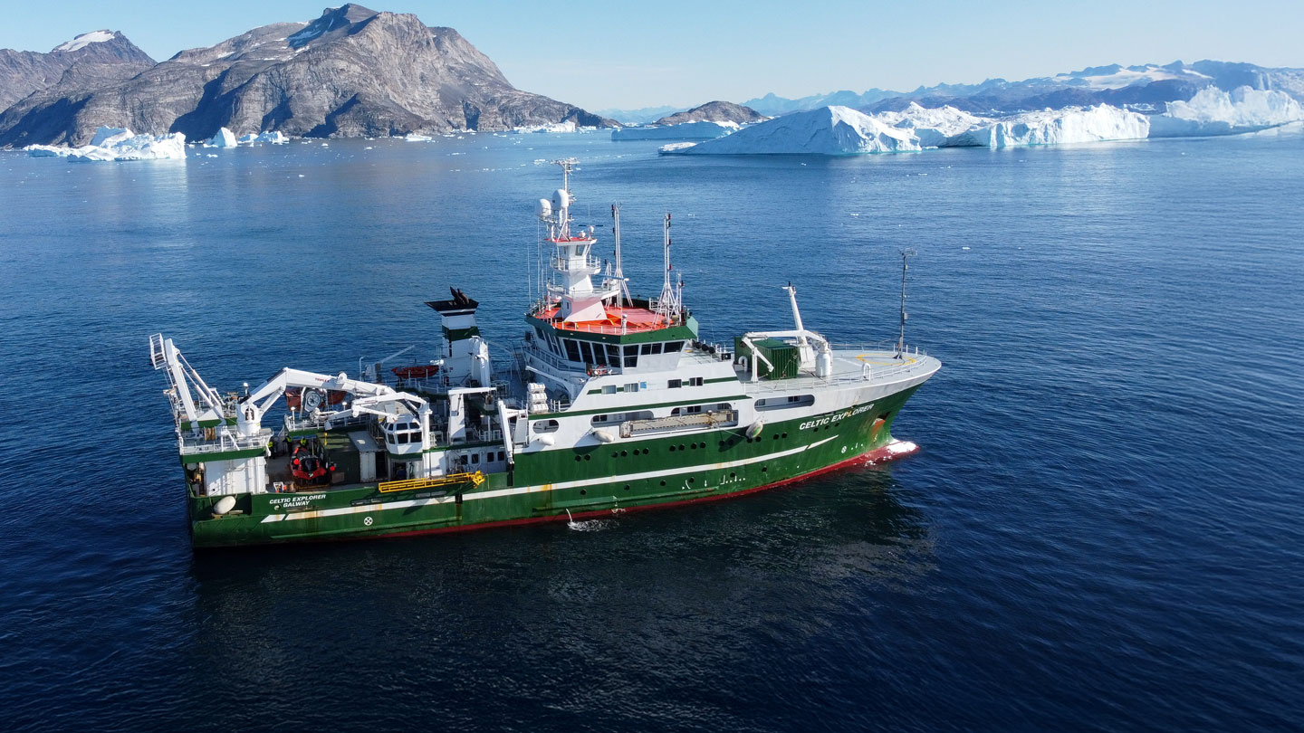
In a recent New Frontiers podcast, Professor Allison Jacobel describes life on an international research team and the high-stakes of oceanographic fieldwork—months at sea, 12-hour shifts, and navigating storms—while collecting water, plankton, and sediment samples to uncover chemical clues to Earth’s past.
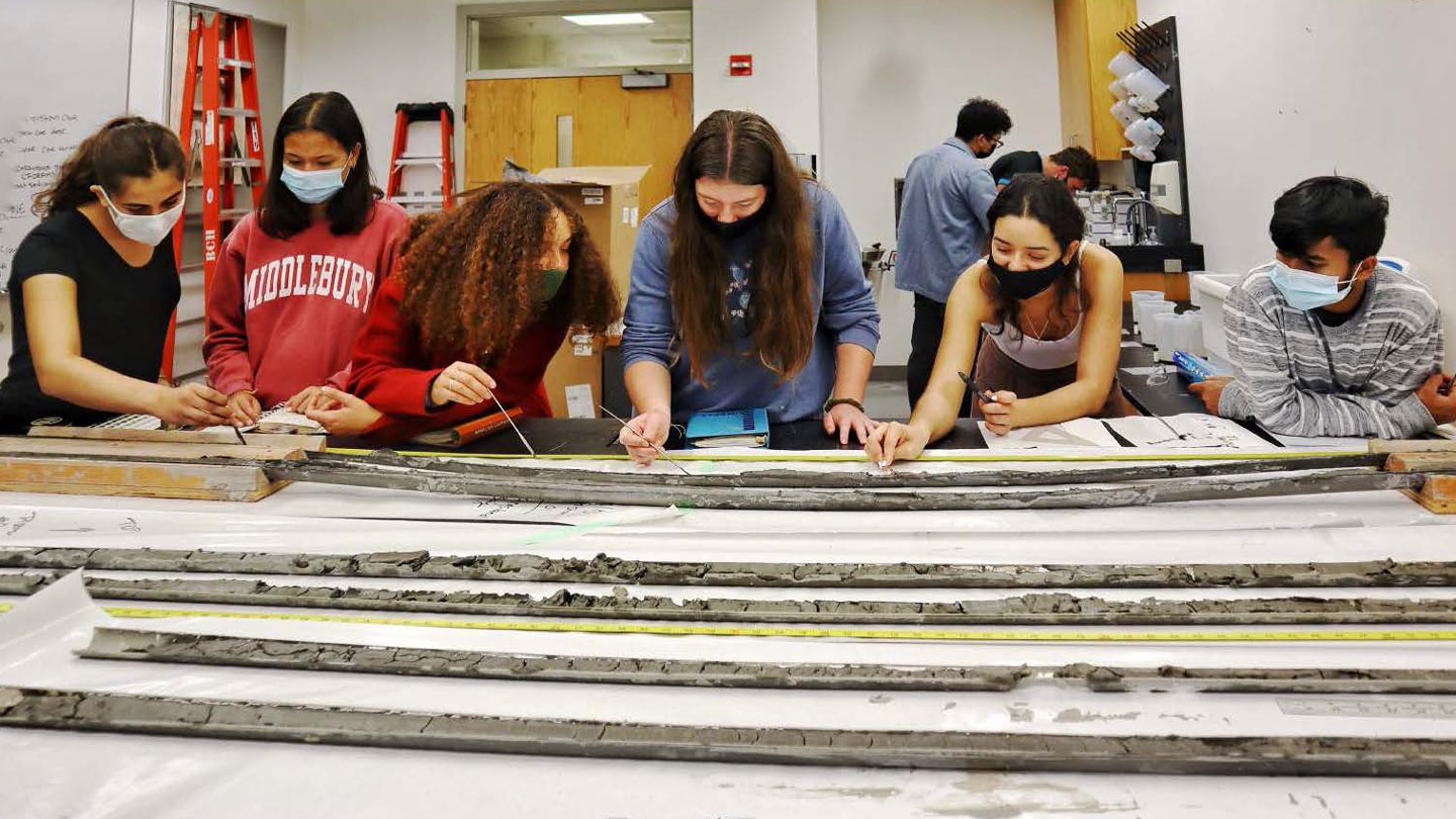
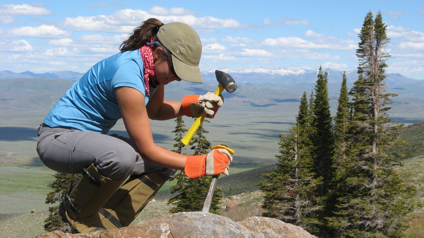
Teaching is our passion and research is an integral part of that teaching. Our research interests include ocean studies, lake studies, soil studies, structural geology, metamorphic and igneous petrology, geochemistry, and geomorphology. All of our research has field and lab components.
Since Vermont is a classic area for the study of mountain system evolution, one general theme of the program is to relate geological processes to the origin and evolution of global tectonic patterns, integrating data from the world’s oceans and continental areas.
Lisa Luna ’13, pictured, went on to work at NewClimate Institute in Berlin, Germany, as a climate policy analyst focused on policies and measures to reduce greenhouse gas emissions. Luna also earned her MSc in geoscience from the University of Potsdam in Germany. She returned in fall 2021 to join us as a visiting professor.